One of the most striking geographical features of Africa is a giant tear across the earth’s surface: the Great Rift Valley. Extending from the Middle East to Mozambique, the Rift Valley passes right through Ethiopia, endowing the country with some spectacular features that range from hot, dry, and barren places to a string of beautiful lakes.
Volcanic activity, which greatly contributed to the formation of the Rift Valley, continues up to present times. In Ethiopia, it finds expression in the presence of hot springs in many parts of the country, as well as volcanic cones in the Danakil Depression in the north-east.
The Ethiopian portion of the Rift Valley runs forms the Read Sea to Lake Turkana on the Kenyan border. In northern Ethiopia, it forms the Danakil Depression, and inaccessible and inhospitable desert that dips to an altitude of 116m below sea level, one of the lowest points on the earth’s surface. South of the Danakil Depression, due east of Addis Ababa, the Rift narrows around Awash National Park to bisect the Ethiopia as Eastern and Western Highlands.
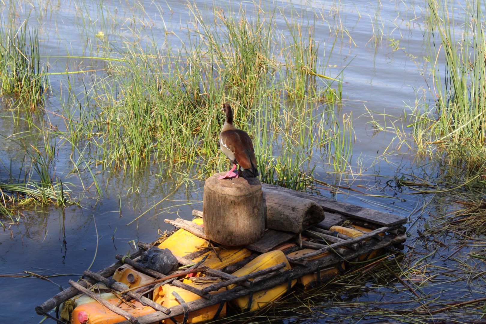
The southern part of the Ethiopian Rift Valley is lower, warmer and drier than other densely populated parts of the country. Covered in acacia woodland and studded with lakes. The six main lakes of the Ethiopian Rift formed during the last ice Age, originally as two large lakes, one of which embraced what are now Lakes Ziway, Abiata, Shala and Langano, the other Lakes Abaya and Chamo.

